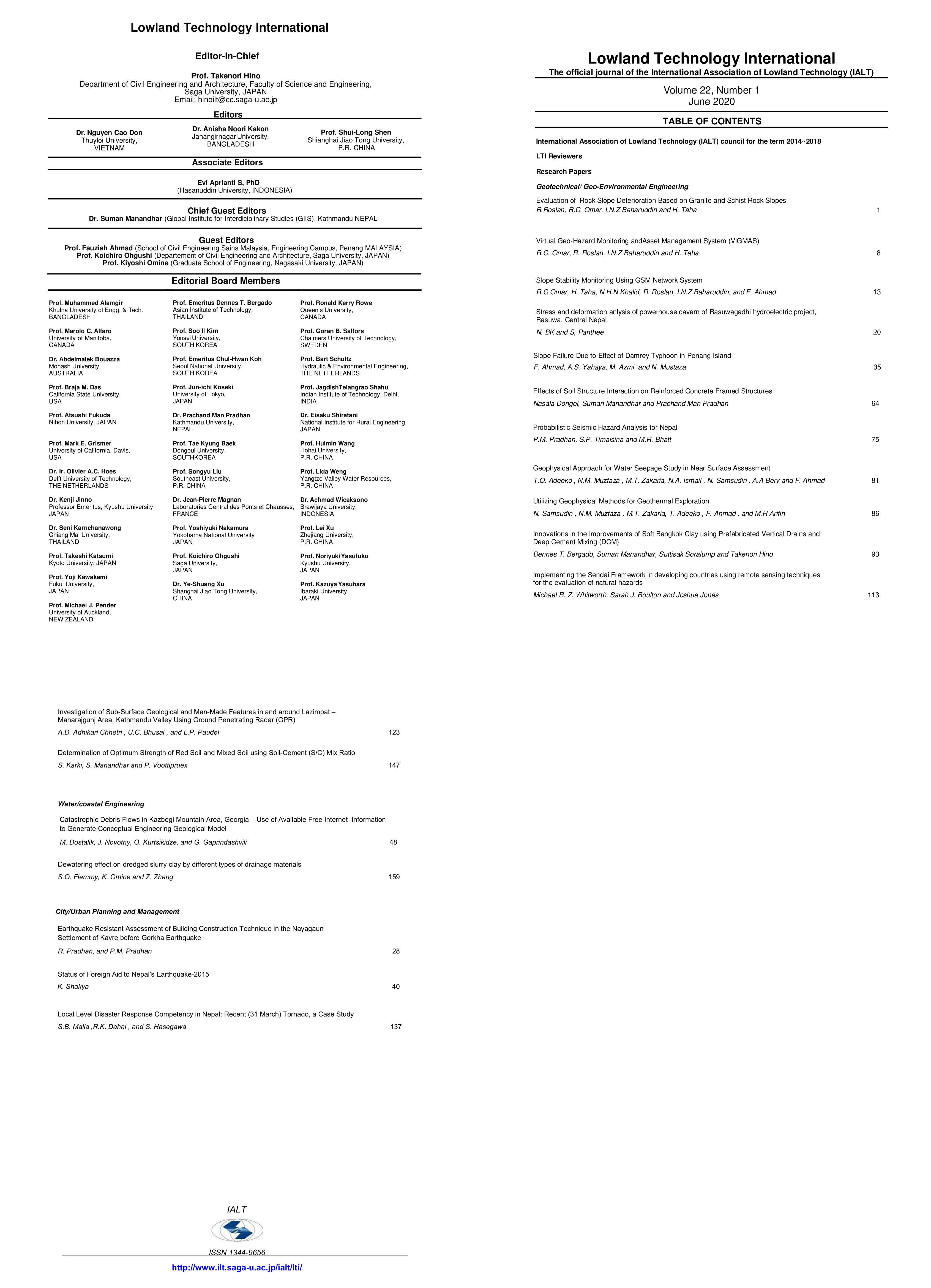
Investigation of Sub-Surface Geological and Man-Made Features in and Around Lazimpat - Maharajgunj Area, Kathmandu Valley Using Ground Penetrating Radar (GPR)
Abstract
Geophysical methods have been used as nondestructive,
reliable and economic methods for subsurface detection. The
depth of investigation ranges from shallow depth of centimeter to
hundreds of meters from the surface. Among several
geophysical methods like Seismic, Electrical, Gravity, Magnetic,
Electromagnetic, Radar; Ground Penetrating Radar (GPR) has
been used in present research to understand subsurface
information about lithological characteristics and underground
utilities (pipes, cables) passing along and across the road
alignment between Lazimpat-Maharajgunj road section of
Kathmandu. GPR utilizes electromagnetic waves for subsurface
detection and can effectively facilitate planning, design and
excavation of work. Data acquisition was carried out using SIR20
instrument manufactured by Geophysical Survey System, Inc.
with central frequency of 270 MHz at seven different locations
which are further processed with processing software PRISM-2.
GPR survey results shows presence of clay, silt, fine to medium
grained sand with no distinct geological structure, utilities laid
along and across the road alignment at different locations and
are marked on respective sections. GPR method can be used for
detecting subsurface geological and man-made features in
Kathmandu and areas having similar geology; prior to
excavations for infrastructure enhancement project so as to
speed up the work along with reduction/avoidance of damages


.jpg)


